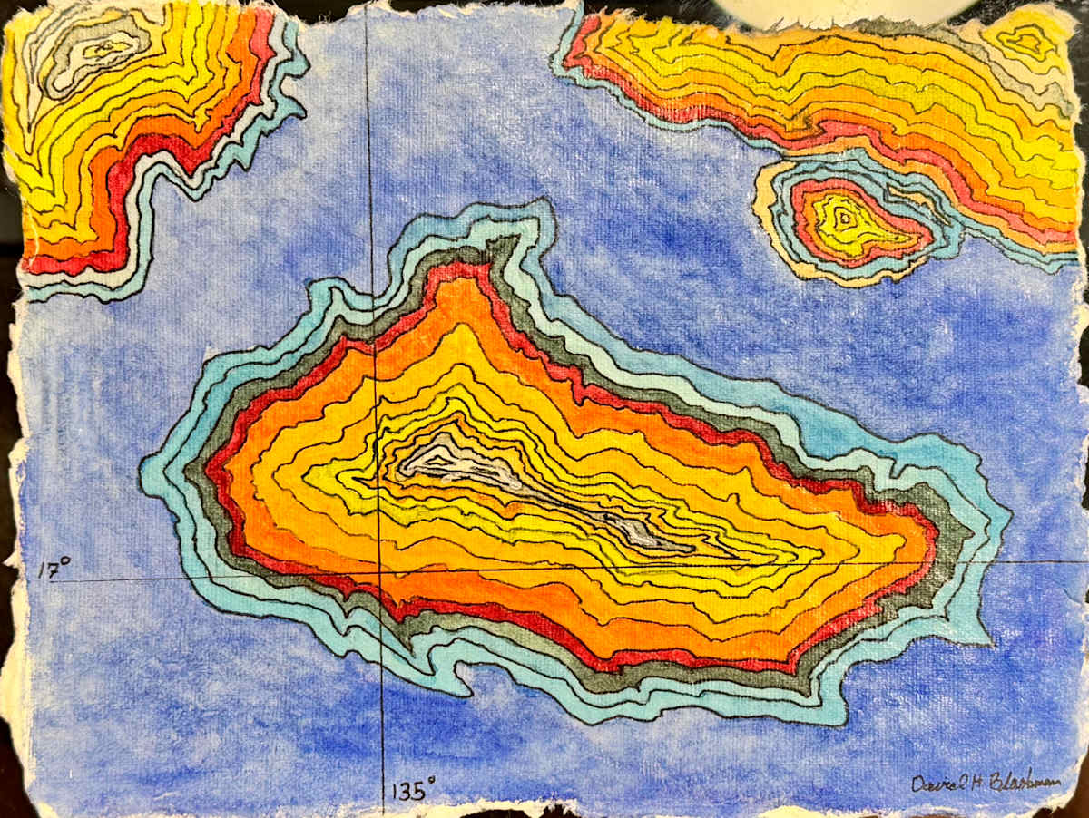
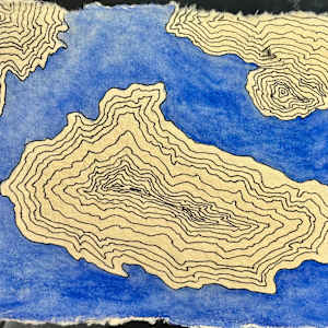
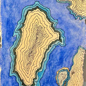
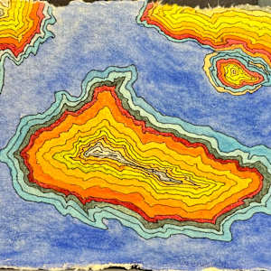

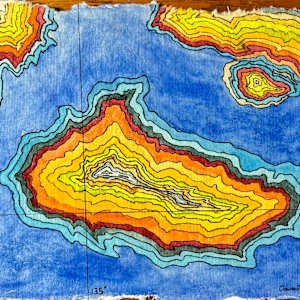
Latitude of Ember Shores presents a carefully layered topographical map rendered in watercolor and ink on textured paper. At its center, a distinct island emerges through a series of concentric contour lines, shifting in tone from pale gray and white at the core to intense yellows, oranges, and deep browns along the edges. This gradient suggests both elevation and warmth, inviting closer examination of the island’s form. Surrounding it, water is mapped in varied blues, visually contrasting with the land and evoking depth or distance. Two smaller landforms, echoing the central island’s contour style and color palette, appear at opposite upper corners, balancing the composition. Latitude and longitude lines anchor the piece in a tangible spatial context, reinforcing its connection to real-world geography. The hand-drawn quality and torn edges of the paper emphasize a tactile, organic approach that resists mechanical precision, celebrating the natural complexity found in maps and landscapes alike.
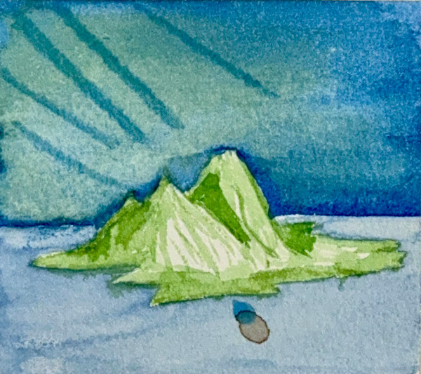
- Subject Matter: Abstract Landscape
- Collections: Seascapes
Other Work From David H. L. Blackman, Ph. D.